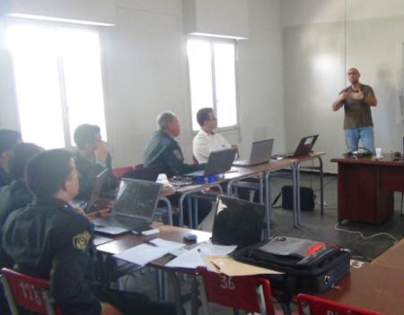
Mapping and monitoring 50 Ramsar Sites in Algeria
27 Abril 2016

The General Directorate of Forests (DGF) of Algeria, in partnership with the Mediterranean Wetlands Observatory (MWO), organised a 5-day workshop (17 to 21 April 2016 in Jijel, Algeria) to produce thematic maps on land use and flooding dynamics for 50 Algerian Ramsar Sites, using tools from GlobWetland-II (GW-II). These maps have been developed from images from the Landsat 8 satellite covering the year 2015, and the typology used for the land use classification is a hybrid typology that combines the Corine Land Cover classes with the Ramsar Classification System of Wetland Type.
Read the full story here